

Infrastructure as Barrier
Part 4 of 6 in BTNTRX.V1 Retrospective Series

The Racial Dot Map showed me the pattern: railroad tracks as demographic dividing lines across Atlanta. But data visualization is one thing. Physical infrastructure is another.
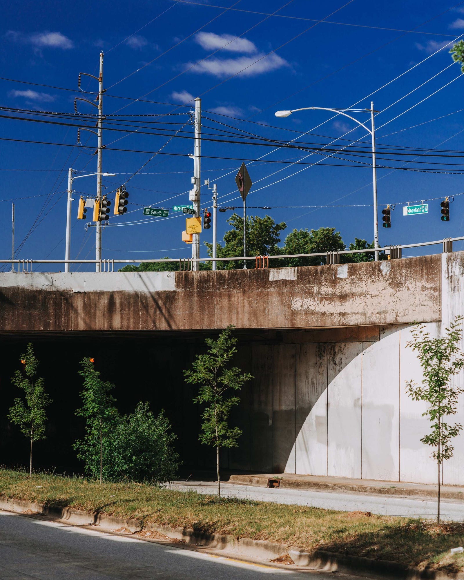
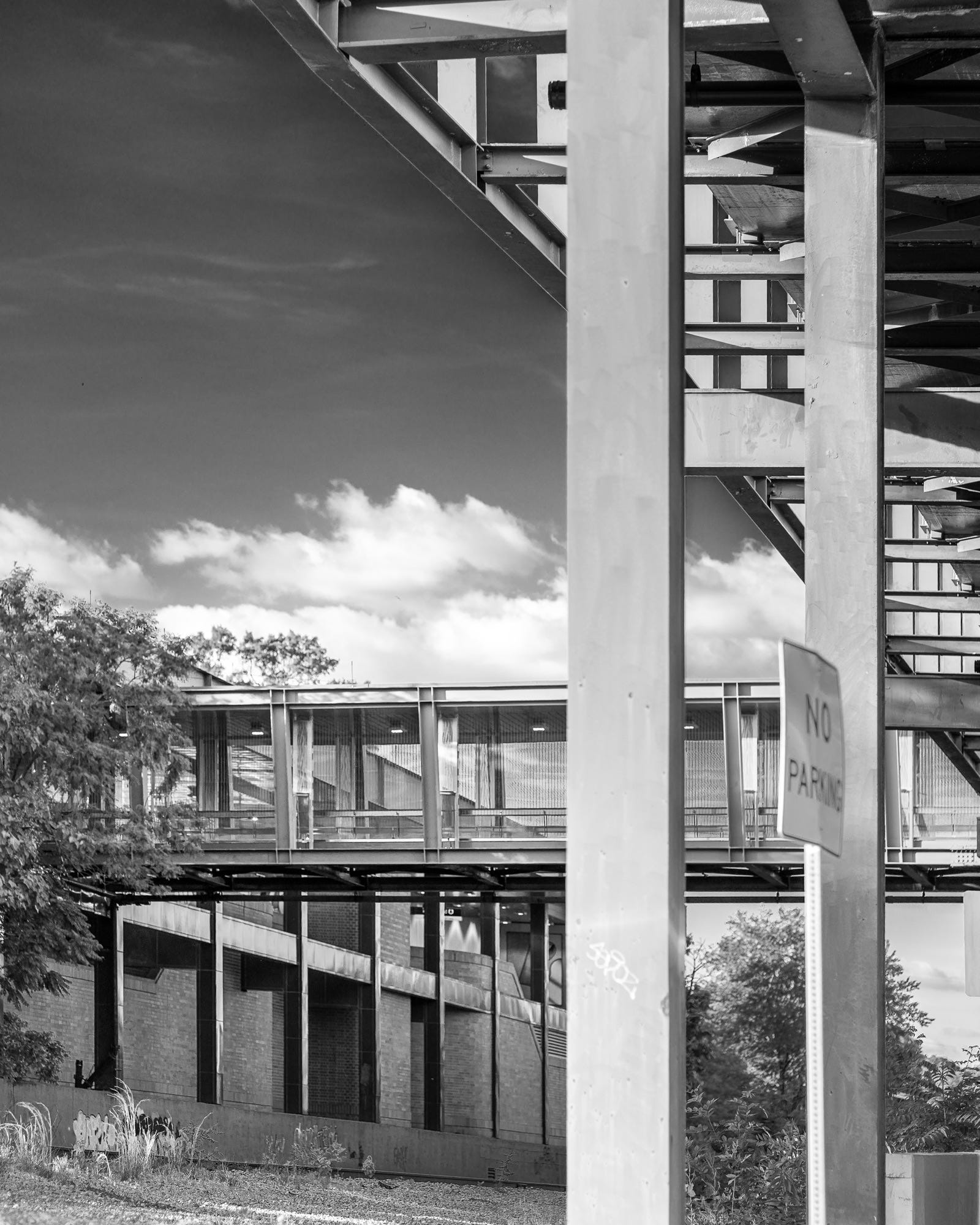
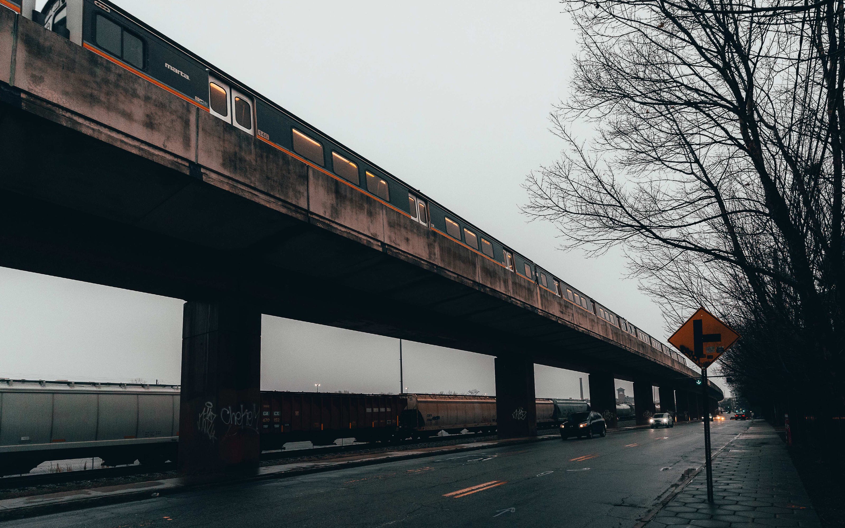
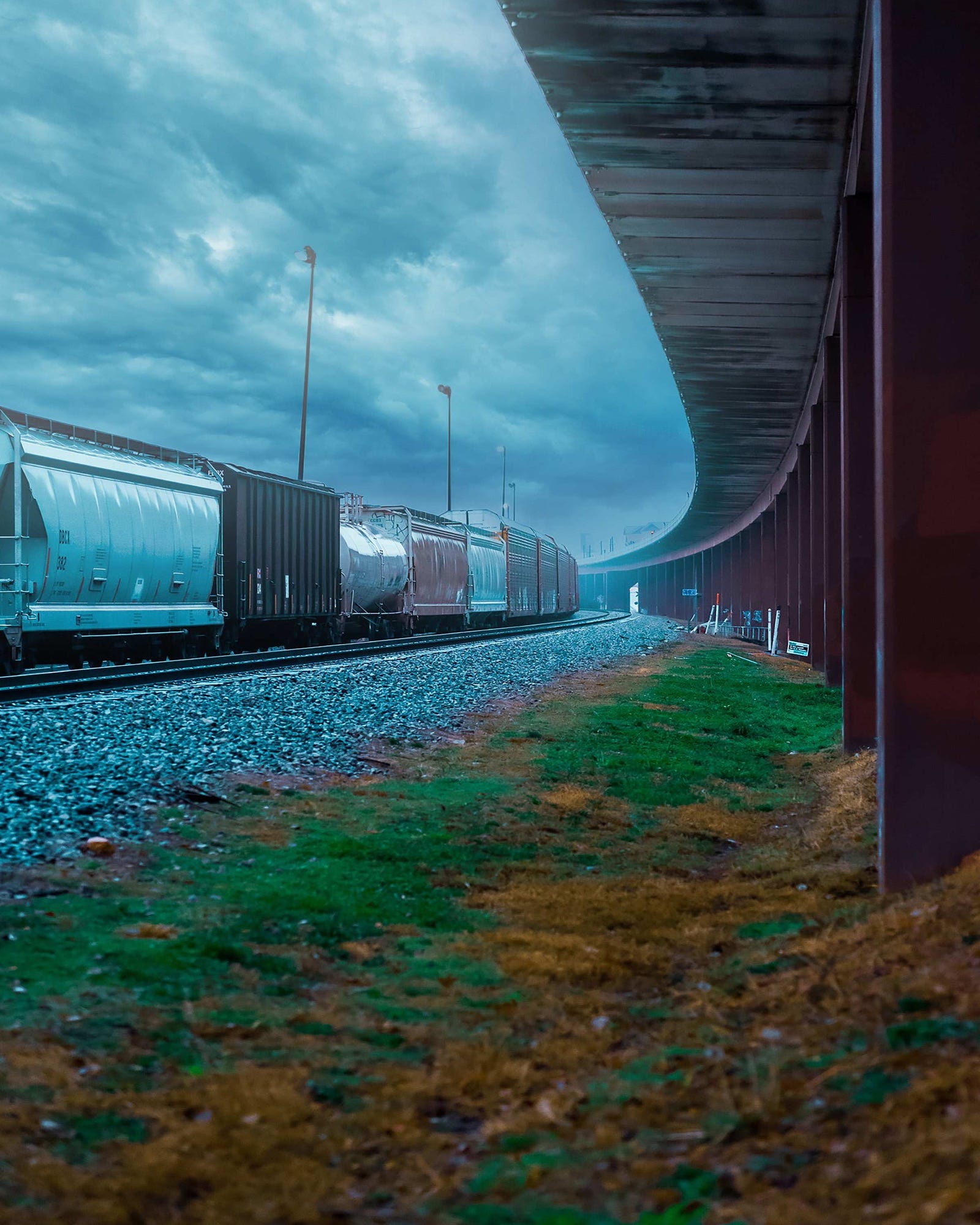
When you stand at a railroad crossing and study the history of the neighborhoods nearby, you see how division works in three dimensions. Boundary lines that run for miles. Overpasses that create “above” and “below.” Industrial corridors that push residential neighborhoods to the margins. Crossing gates that lower dozens of times a day, stopping traffic, stopping movement, reinforcing the separation between one side and the other.
These images from BTNTRX.V1 focus on infrastructure as barrier—the physical structures that enforce division and make “the wrong side of the tracks” a tangible, daily experience.
The Racial Dot Map
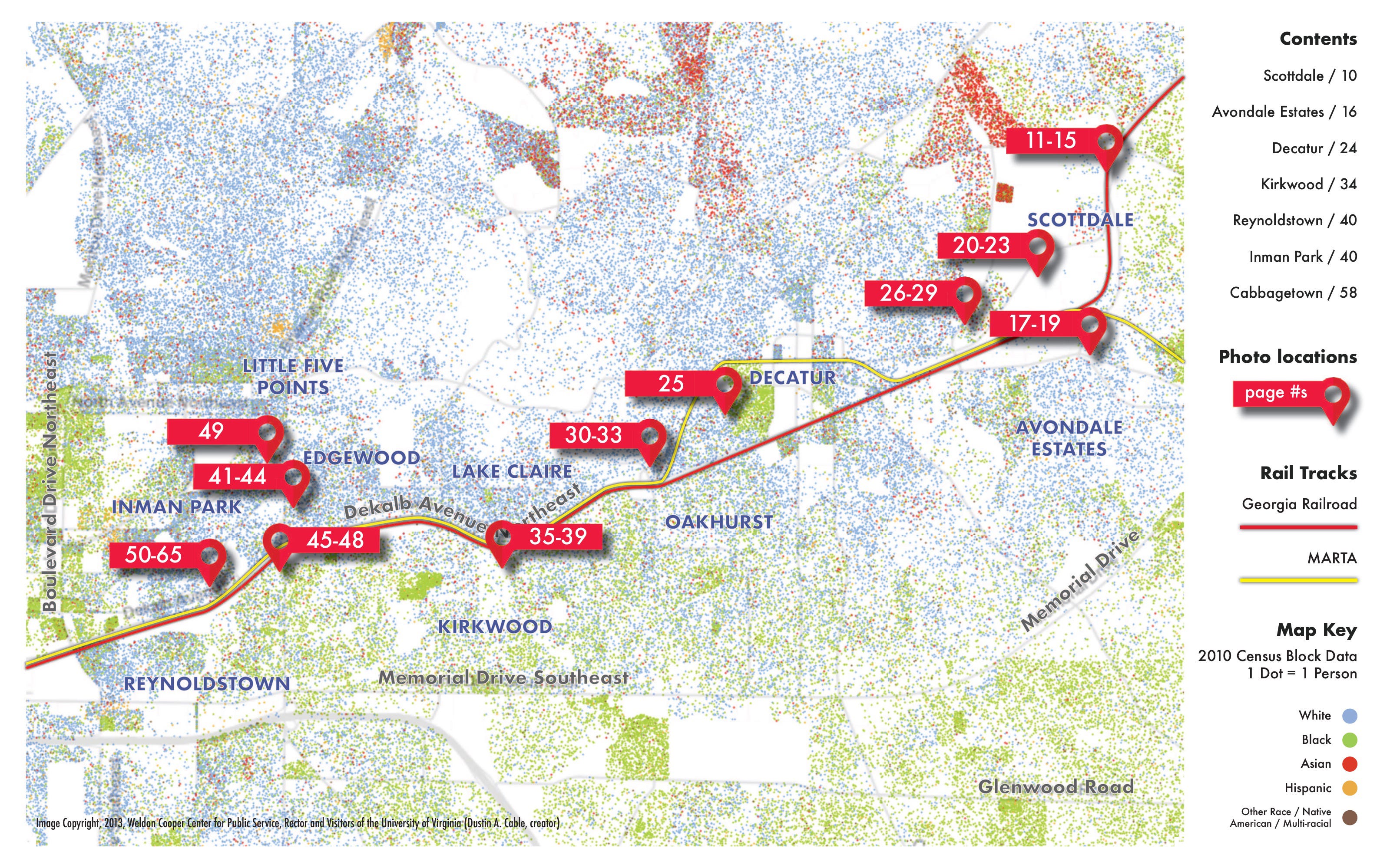
The Racial Dot Map uses census data to visualize the geographical distribution of races in America. Each dot on the map represents an individual and is also color-coded by race and ethnicity. As I reviewed the stretch of railroad tracks that made up my collection of pictures on the map, it was easy to see the stark differences in racial makeup on either side of the route. The core purpose of this project was solidified: showcase the pictures along a 2 mile stretch of the Georgia Railroad and highlight the racial history of key points along that route.
Reynoldstown & Inman Park
Located directly across the Georgia Railroad from each other, the Reynoldstown and Inman Park neighborhoods in Atlanta date back to the second half of the 1800s. On the southern side, Reynoldstown was one of the first African-American neighborhoods to develop in Atlanta when former slaves started migrating in to work for the railroad after the Civil War. Inman Park to the north was Atlanta’s first planned suburb in the late 1880s and was touted as a segregated oasis for the wealth.
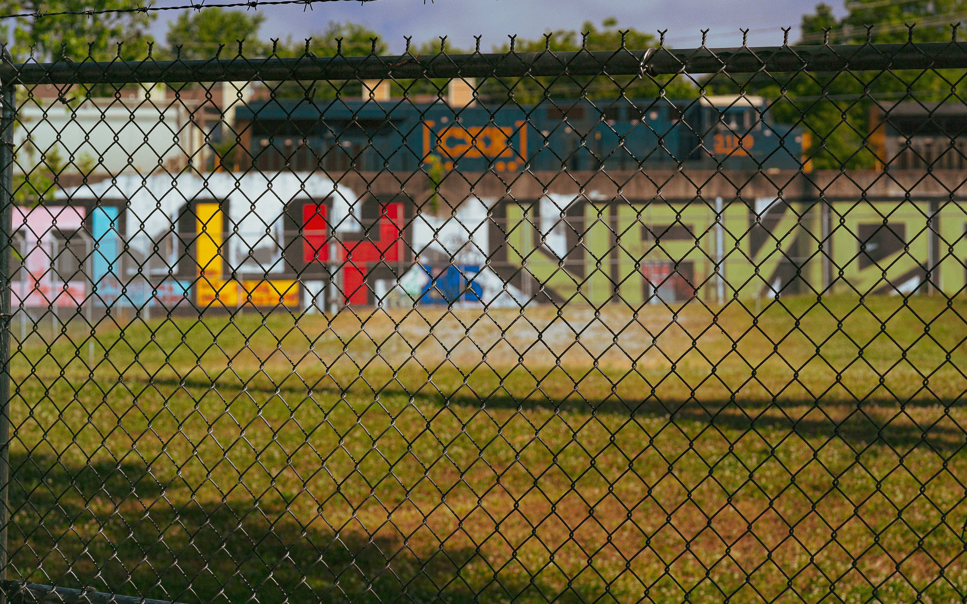
Hulsey Yard
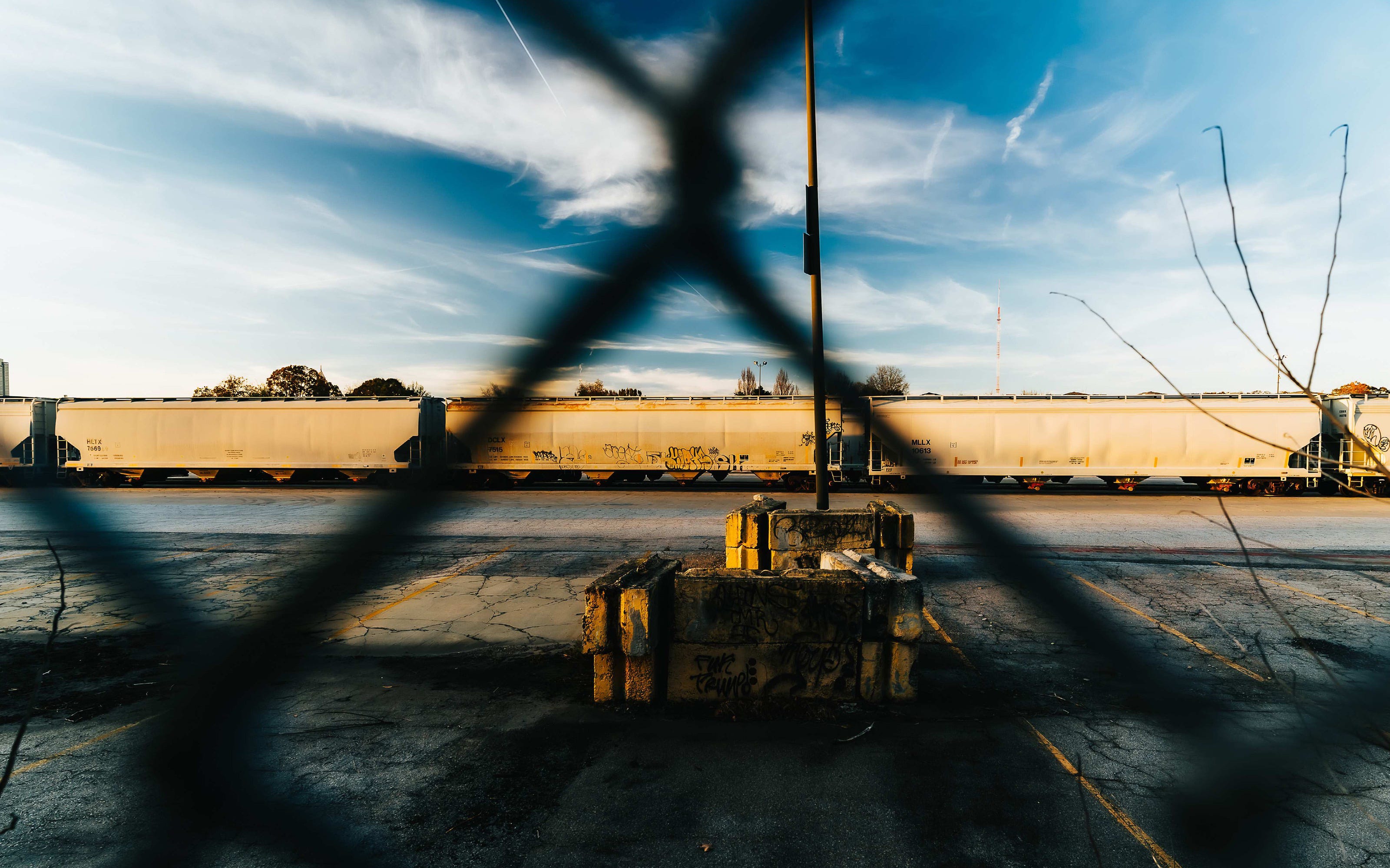
Hulsey Yard in Cabbagetown started as part of the Georgia Railroad in the mid-1800’s. In close proximity to the Fulton Bag & Cotton Mill, it expanded rapidly as Georgia’s cotton industry grew. For decades, it acted as a physical barrier, separating neighborhoods like Cabbagetown and Reynoldstown from the Old Fourth Ward and Inman Park areas. It was a major CSX hub until closing in 2019.
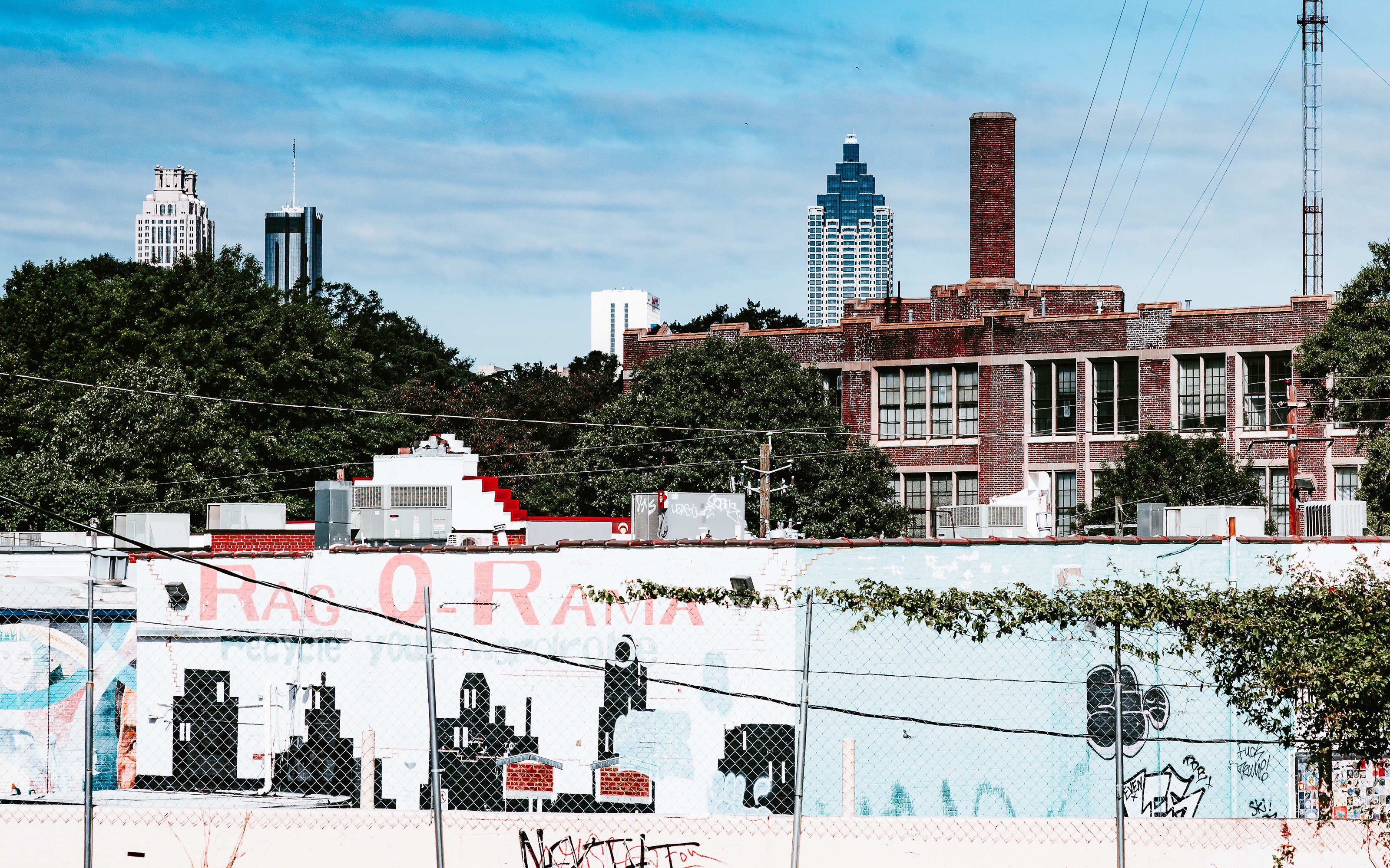
Infrastructure isn’t neutral. Every overpass, every fence line, every crossing gate represents a choice about how space gets divided and who gets access to what.
In BTNTRX.V1, these barriers aren’t background elements—they’re the subject. The railroad corridor isn’t just a transportation route. It’s a mechanism that enforces separation, that makes “wrong side of the tracks” a physical reality rather than just a metaphor.