

Scottdale: Where It All Began
Part 2 of 6 in BTNTRX.V1 Retrospective Series

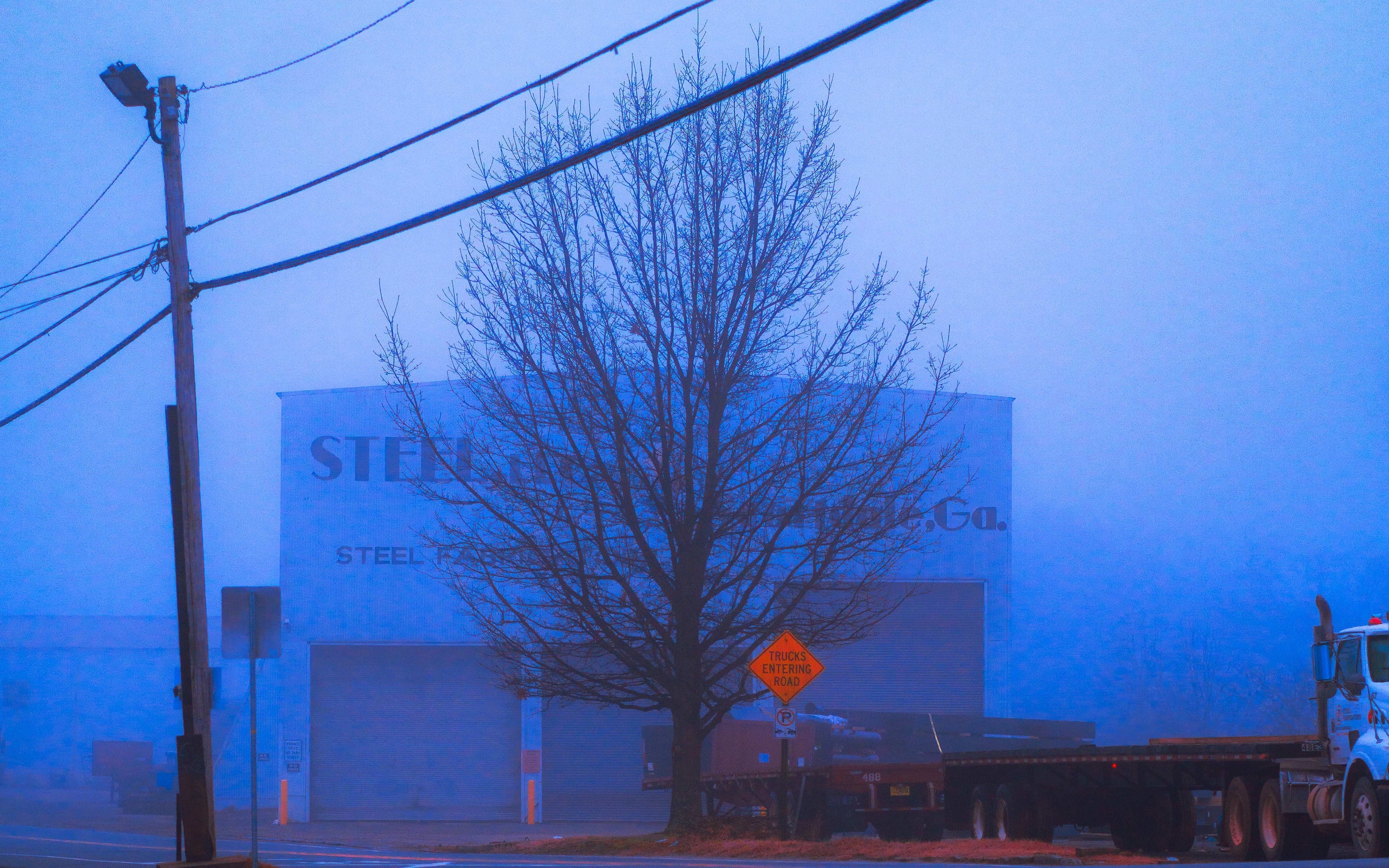
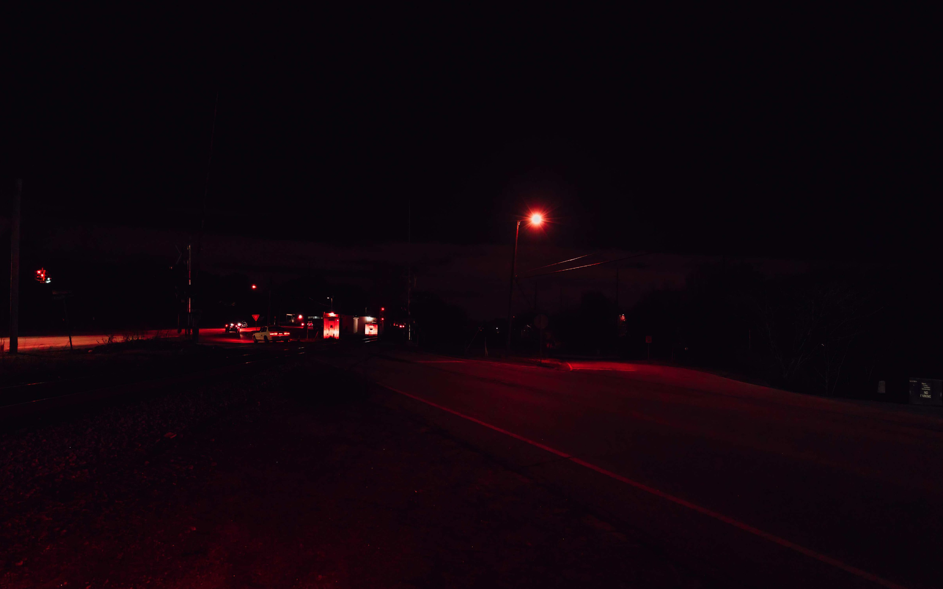
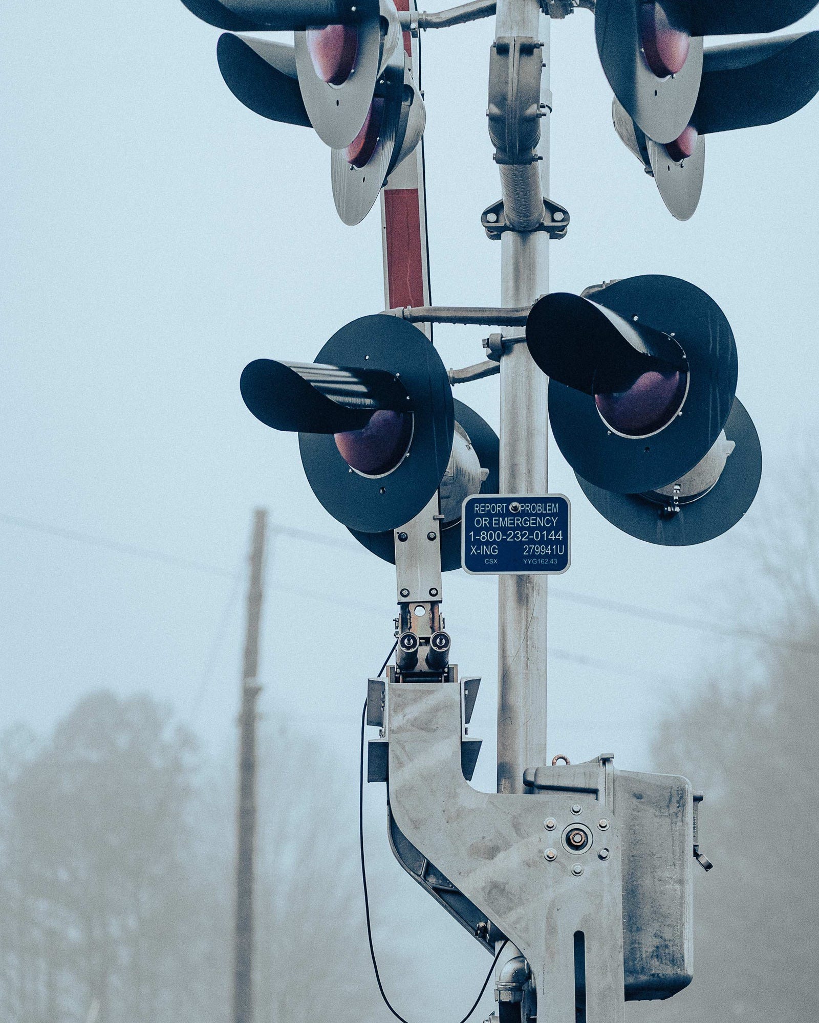
In late 2020, I spent weeks walking a 2-mile stretch of railroad corridor starting in Scottdale, a neighborhood in unincorporated Dekalb County just east of Decatur and north of Avondale Estates. What drew me there initially was the industrial architecture—aging steel buildings, railroad crossings, the kind of overlooked structures that become invisible to people who pass them every day.
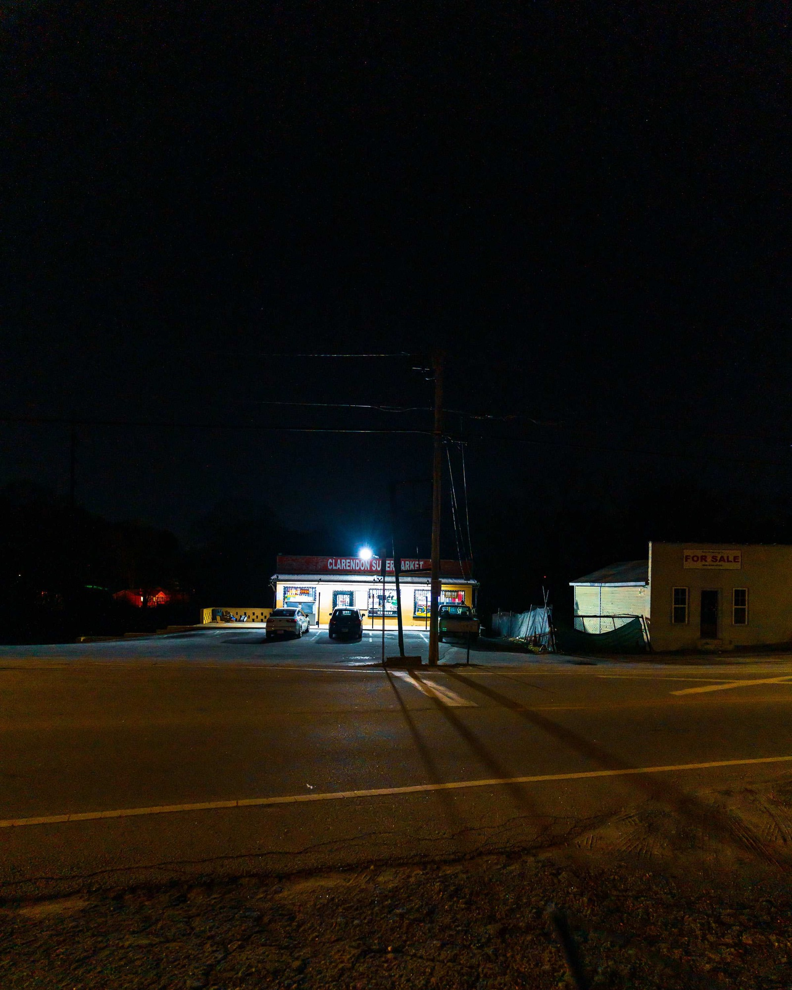
I was standing outside Clarendon Supermarket one foggy morning, photographing the Scottdale Steel building across the street, when a longtime resident approached me. Our conversation—captured in yesterday’s video—gave me the key to understanding what I’d been documenting for months. These weren’t just atmospheric architectural studies. They were evidence of how railroad infrastructure shaped Atlanta’s racial geography.
These are the images from that stretch of Scottdale where the story of BTNTRX revealed itself.
Ingleside and Scottdale were developed to provide housing for employees of the Scottdale Cotton Mills built in 1901 on a cotton field near a small creek. Divided by the Georgia Railroad track, the white families lived on the west side in mill-owned houses while Black families settled on the east side.
In 1924, George Willis carved out land in Ingleside to develop Avondale Estates. He excluded the “Black side of town” to the north bordering Scottdale. Yet, the community relied heavily on people of color to care for their homes, families, and businesses. Abelia bushes spanning 3 city blocks further established the color line by separating the commercial and residential areas.


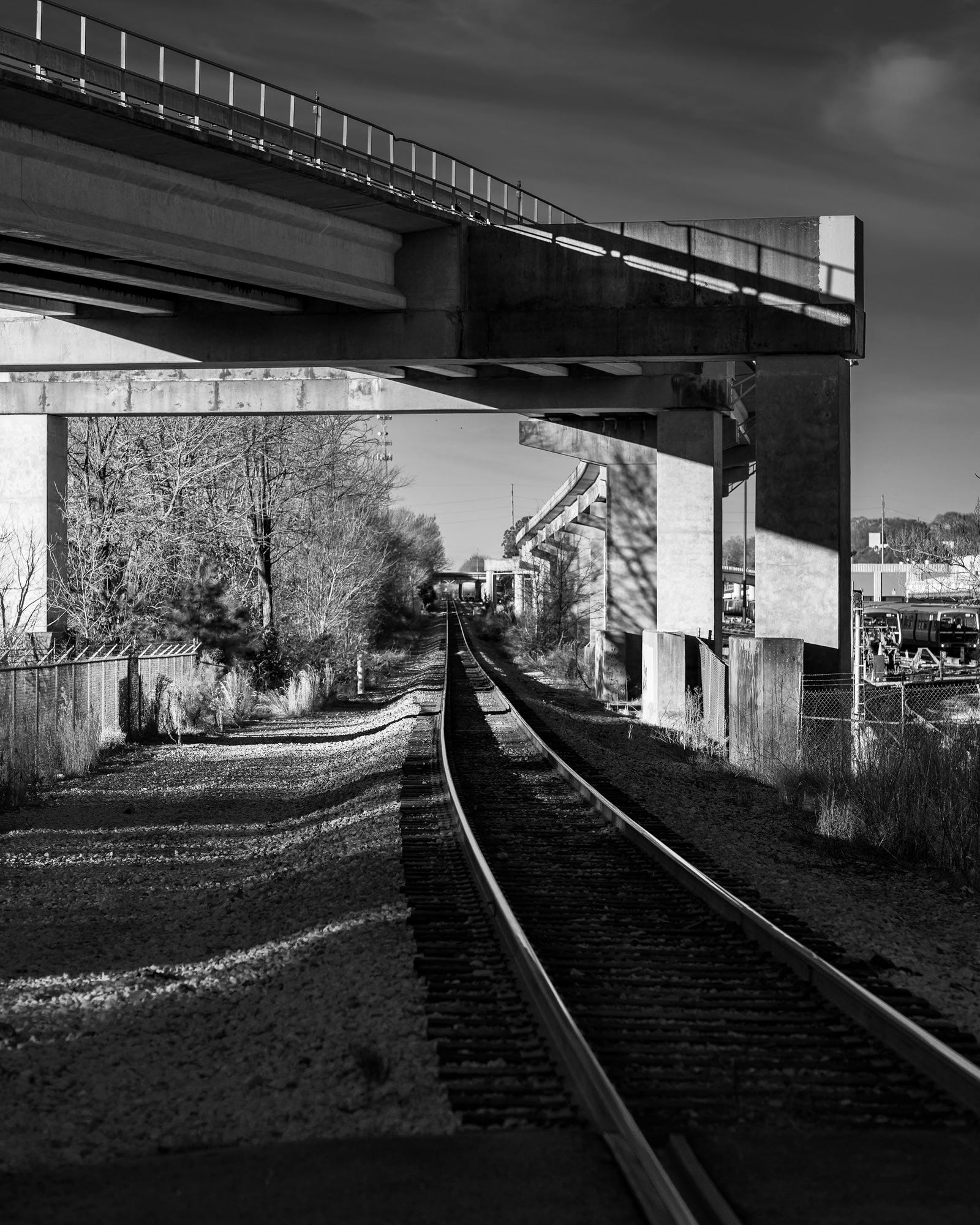
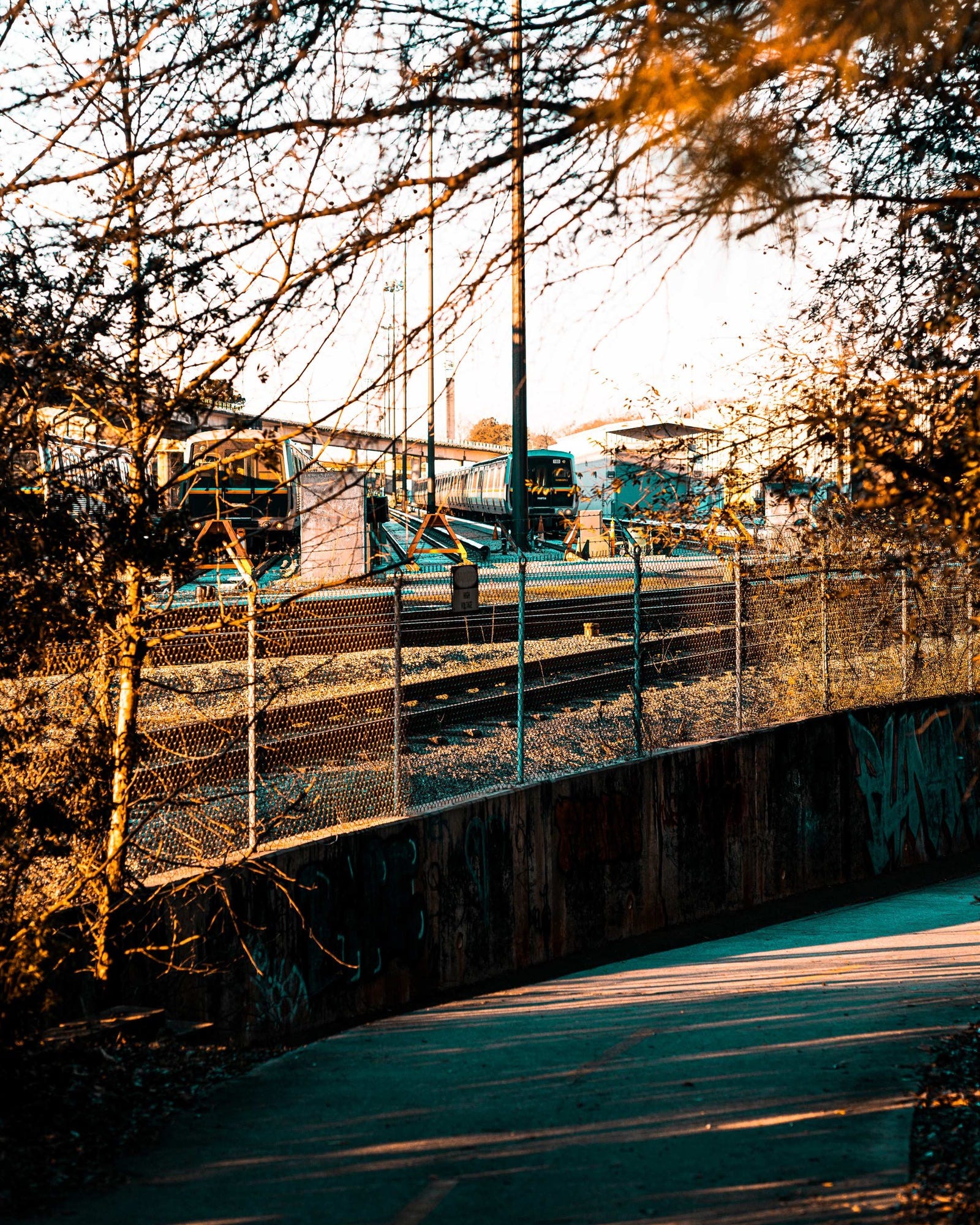
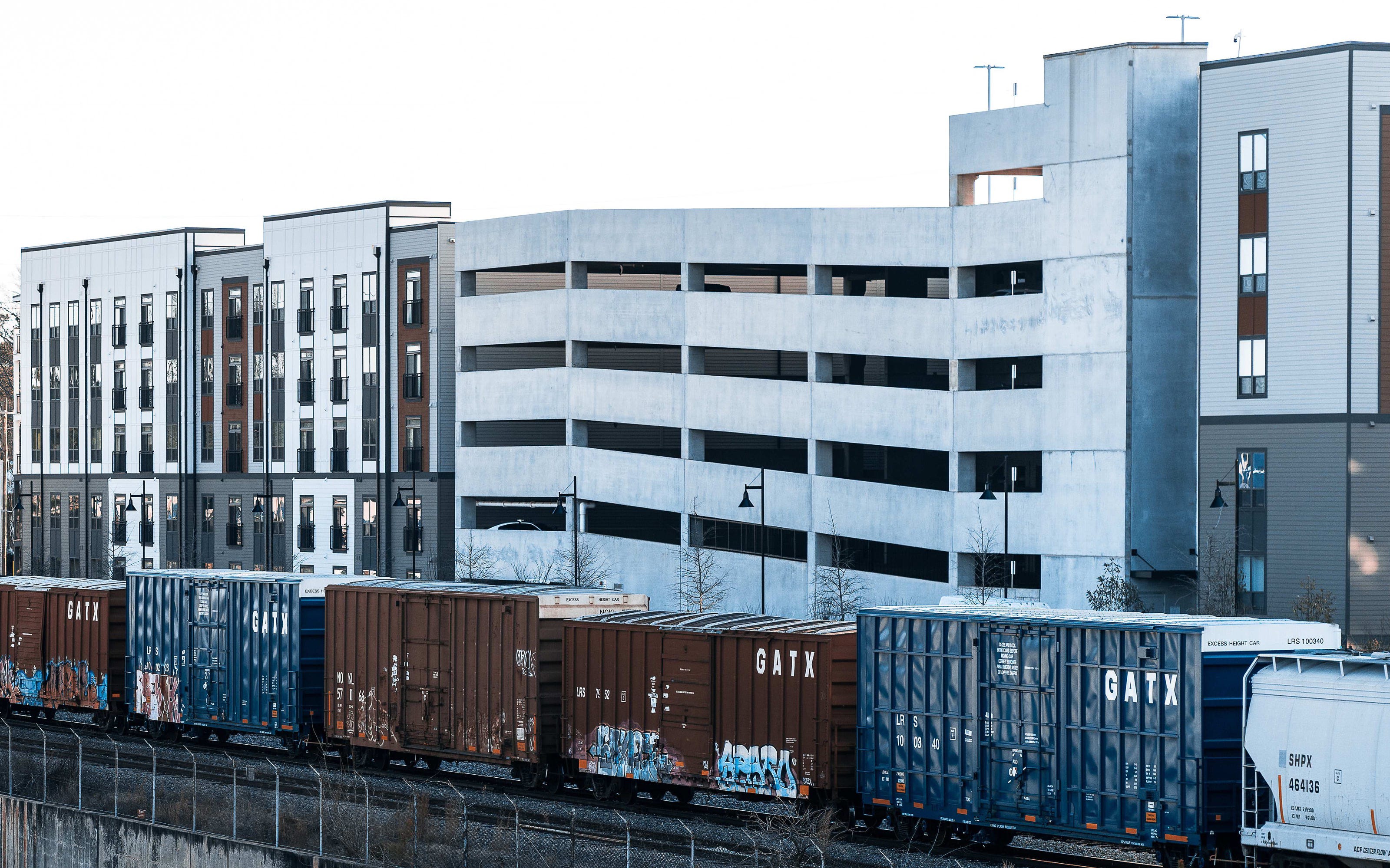
This start of a 2-mile stretch of train tracks became the foundation for BTNTRX.V1. Every image in the book traces this same corridor—following the railroad west from this central starting in Scottdale and Avondale Estates, documenting how the tracks divided predominantly Black neighborhoods from more affluent white areas and influenced the neighborhoods that developed in, and around, Atlanta, GA.
The conversation outside Clarendon Supermarket didn’t just give me context for photographs I’d already made. It changed how I saw the rest of the project. Every crossing, every overpass, every fence line became evidence of intentional geographic division that persists today.
Tomorrow: The map that showed me this pattern extends far beyond Scottdale—across Atlanta and across America.
Part 2 of 6 | BTNTRX.V1 Retrospective
Coming next:
Jan 3: Video - By Design: How Railroads Divided Atlanta
Jan 4: Photo Essay - Infrastructure as Barrier
Jan 5: Video - Beauty in the Beaten Path
Jan 6: Photo Essay - The Complete Journey
BTNTRX.V1.5 releases February 2026